
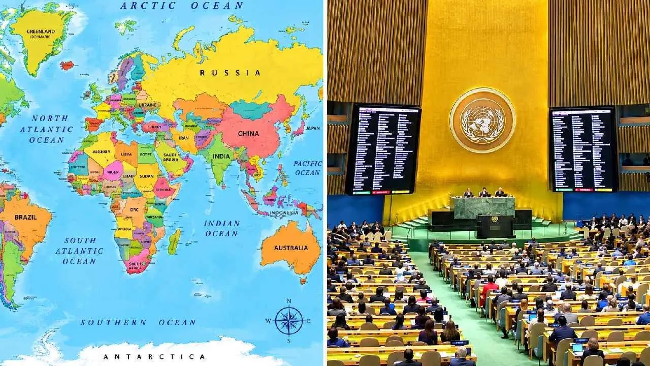
India has voted in favour of a United Nations resolution aimed at promoting world maps that represent countries and continents according to their actual land area. However, the Ministry of External Affairs (MEA) clarified that India’s vote does not mean it has endorsed any particular map or map projection.
The UN General Assembly adopted the resolution on September 4, with India supporting the basic principle of equal-area representation. MEA spokesperson Randhir Jaiswal said the resolution does not address political cartography, disputed territories, international borders or geographical names.
India also reiterated its position on Jammu and Kashmir and Ladakh. Jaiswal said India’s sovereign territory, including these regions, must be depicted according to the country’s official map and that New Delhi will not accept any inaccurate or misleading representation of its territory.
The resolution focuses on the way the world’s land areas are visually represented on maps. The widely used Mercator projection, developed in 1569, is useful for navigation but makes areas farther from the equator appear much larger than their actual size.
One alternative is the Equal Earth projection, introduced in 2018, which aims to represent the relative size of continents and countries more accurately. Under this projection, Africa appears significantly larger than it does on a Mercator map.
A total of 164 countries voted in favour of the UN resolution, while six abstained. The United States voted against it.
India’s support therefore relates to the principle of more accurate area representation, while its position on sovereignty, borders and territorial integrity remains unchanged.