Indonesia is reeling from a series of earthquakes. On August 15, two powerful earthquakes struck the country; notably, a quake with a magnitude of 7.7 occurred near Flores Island, necessitating the issuance of tsunami warnings. The primary cause of these earthquakes is the movement of tectonic plates beneath the Earth’s surface. Indonesia is situated at the junction of four tectonic plates: the Australian Plate, the Sunda Plate, the Pacific Plate, and the Philippine Sea Plate. Consequently, earthquakes occur frequently in this region.
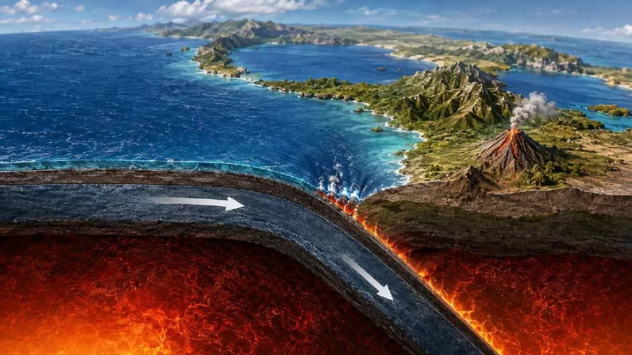
The earthquake that struck near Flores on August 15 was primarily linked to the complex interaction between the Australian and Sunda plates. The Australian Plate moves continuously northward and slides beneath the Sunda Plate—a process known as “subduction.” When the two plates become locked against each other, immense stress accumulates over decades or even centuries. Eventually, the rock formations can no longer withstand this pressure and fracture suddenly, releasing a massive amount of energy. This energy manifests as earthquakes and tsunamis.
The Flores region has a history of major earthquakes. In 1992, a magnitude 7.5 earthquake and the subsequent tsunami caused widespread devastation and claimed thousands of lives. The Eastern Sunda-Banda Arc is one of the most seismically active regions in the world. Indonesia lies within the “Pacific Ring of Fire.” This region extends from Indonesia to Japan. It is an area where a high frequency of earthquakes and volcanic activity occurs.